
← Home · Map · Beer Tents
Oktoberfest Tent Map 2026: How to Read the Zeltplan and Find Every Beer Tent
Looking for an Oktoberfest tent map 2026? You want one clear thing: where each beer tent sits on the Theresienwiese, and how to reach it without getting lost in the crowd. This guide explains the Zeltplan (German for tent plan), how it differs from the full festival map, and how to find your tent on the day.

Verify before you go: Tent positions are stable year to year, but always check the official Oktoberfest 2026 map / site plan for the final layout.
Table of Contents
What an Oktoberfest tent map (Zeltplan) actually shows
A Zeltplan focuses on Festzelte — the large beer tents and nearby smaller tents. It usually helps you see tent names and relative positions, main walkways between tents, nearby entrances and exits, and landmarks that make orientation easier.
It is not a full city map. It also is not a deep guide to tent atmosphere. For that, use the beer tents guide. Think of the Zeltplan as your “which tent is where” tool.
Tent map vs full Wiesn site plan: what’s the difference?
People mix these searches up. Both matter, but they answer different questions.
| Tool | Best for | Typical search |
|---|---|---|
| Tent map / Zeltplan | Finding a specific beer tent | “oktoberfest tent map”, “zeltplan wiesn” |
| Full site plan / Lageplan | Entrances, rides, toilets, first aid, whole grounds | “wiesn plan”, “lageplan oktoberfest” |
If you only need tent locations, use a Zeltplan mindset. If you need the whole festival layout, open the Oktoberfest Munich 2026 map. Many visitors need both: first the Zeltplan to pick a meeting point, then the full plan for exits, toilets, and rides.
How to read the Zeltplan in 5 simple steps
- Find north and the main avenues. Orient the plan the same way you will walk after leaving the U-Bahn.
- Locate your tent name first. Do not start by browsing every ride. Search the tent label.
- Mark the nearest entrance. Choose the gate closest to your tent, not the busiest one by habit.
- Pick one landmark. A large tent, a main street corner, or the fairground center helps your group reunite.
- Save or screenshot the plan. Phone signal can be weak when the grounds fill up.
Do this the night before. It takes five minutes and saves a lot of stress.
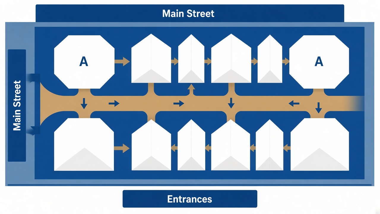
Where the large beer tents usually sit on the grounds
Exact placement can shift slightly by year. Still, the large tents follow a familiar pattern on the Wiesn.
Central and “main street” tents
These tents sit along the busiest walking routes and are easy to spot once you are on the grounds:
- Schottenhamel — opening-day keg tapping; high foot traffic nearby
- Hofbräu-Festzelt — large international crowd; easy to recognize once you are close
- Löwenbräu-Festzelt — strong visual landmark with the lion figure
- Hacker-Festzelt — central energy, popular meeting area
- Winzerer Fähndl — large capacity; often used as a reference point on the plan
If your group is new to Oktoberfest, start with a central tent on the Zeltplan. It is easier to explain as a meeting spot.
Edge tents and quieter corners
- Hippodrom — toward the eastern side of the grounds
- Käfer’s Wiesn-Schänke — smaller, reservation-heavy, easier to miss if you only follow the biggest crowds
- Fischer-Vroni — smaller food-focused tent; check the label carefully on the plan
- Weinzelt — wine/cocktail option among the large structures
Edge tents can be faster to reach if you choose the right entrance. They can also be harder to find if you enter at the opposite side of the meadow.
Oide Wiesn tents (separate area)
The Oide Wiesn is a separate historic area with its own tents and nostalgic rides. It is not just “another row” on the main beer-tent strip. If your plan includes Oide Wiesn, look for that zone on the site plan and read the Oide Wiesn page for entry rules and opening details.
Best entrances for popular tents
A good Zeltplan habit is this: choose the entrance for the tent, not the tent for the entrance.
- Open the tent map and find your tent.
- Trace the shortest walk to the nearest gate.
- Check whether your group will arrive by U-Bahn, taxi, or on foot.
- Agree on one backup meeting point in case one gate is crowded.
On busy evenings, walking across the whole meadow can take much longer than you expect. Entrance choice matters as much as tent choice. For crowd timing before you go, check the visitor barometer.

Practical tips for finding your reserved table
A tent map gets you to the right building. Inside, staff and signs get you to the right table.
- Know your tent’s official name. Reservation emails sometimes use short names. Match them to the Zeltplan label.
- Arrive with your booking details ready. Screenshot the confirmation and table info.
- Do not assume every seat is free. Many tables are reserved, especially evenings and weekends. See the tickets and booking guide for how reservations work.
- Use one outdoor landmark. Tell late friends: “Meet outside [tent name] at the main entrance.”
- Plan a second tent. If your first choice is full, pick a nearby backup on the Zeltplan before you arrive.
Grounds entry is free. Finding a seat is the hard part — especially later in the day.
Common Zeltplan mistakes to avoid
- Treating every map as a tent map. A city Google Maps pin for Theresienwiese shows the location, not tent order.
- Meeting “somewhere near Hofbräu.” That area gets crowded. Name the exact tent entrance.
- Ignoring opening times. Tent hours and ride hours differ. Confirm on the opening times page.
- Walking the long way on purpose. Crossing the whole Wiesn with a large group during peak hours is slow and tiring.
- Forgetting Oide Wiesn is separate. If someone says “meet at the old Wiesn,” that is a different zone and may involve entry rules.
FAQ: Oktoberfest tent map 2026
Is there an official Oktoberfest tent map for 2026?
Yes. The festival publishes a site plan that shows tent areas and the wider grounds layout. Use the downloadable plan on the map page as your source of truth.
What does “Zeltplan” mean?
It means “tent plan.” In Oktoberfest search results, it usually means a layout focused on beer tent positions.
Is a tent map the same as a Wiesn plan / Lageplan?
Not exactly. A Wiesn plan or Lageplan covers the whole festival site. A Zeltplan focus is tent locations and how to navigate between them.
Can I use Google Maps to find each beer tent?
Google Maps is excellent for reaching Theresienwiese. Once you are on the grounds, a festival Zeltplan or site plan is usually clearer for tent-to-tent navigation.
Do smaller tents appear on the Zeltplan too?
Large Festzelte are the main labels. Many smaller tents and specialty venues also appear on the official plan, but they can be easier to miss. Zoom or enlarge the plan before you go.
Conclusion
An Oktoberfest tent map 2026 is most useful when you treat it as a navigation tool, not just a pretty picture. Find your tent, pick the nearest entrance, set one meeting point, and keep the official site plan as backup.
Next step: open the Oktoberfest 2026 map, then choose your tent with the beer tents guide. That combination covers both “where is it?” and “which tent fits our group?”